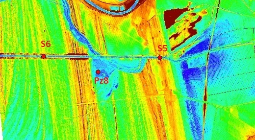
AFgtc developed a proprietary innovative technology for LIDAR survey based
on unmanned airborne platforms
|
 Main features:
|
|
Application fields:
-
geology
-
hydrogeology
-
optimization
of drainage
patterns
-
landslide analysis
-
temporal evolution of geological, hydrogeological and morphological
phenomena
-
urban planning
-
geoarcheological analysis
-
geomorphological analysis
-
agronomical analysis
|
AFgtc
provides interpretation, analysis,
filtering and processing of LIDAR data:
from LIDAR data properly processed
accurate information on ground morphology even in densely
forested areas can be obtained to GENERATE full GIS
integrated cartographic output
CONTACT US FOR FURTHER
INFORMATION!


